
Hydraulic Engineering
FTS Offers the Following Services in This Category:
Base drainage and pumping station
Erosion and Sediment control Plan
Fire storage tanks
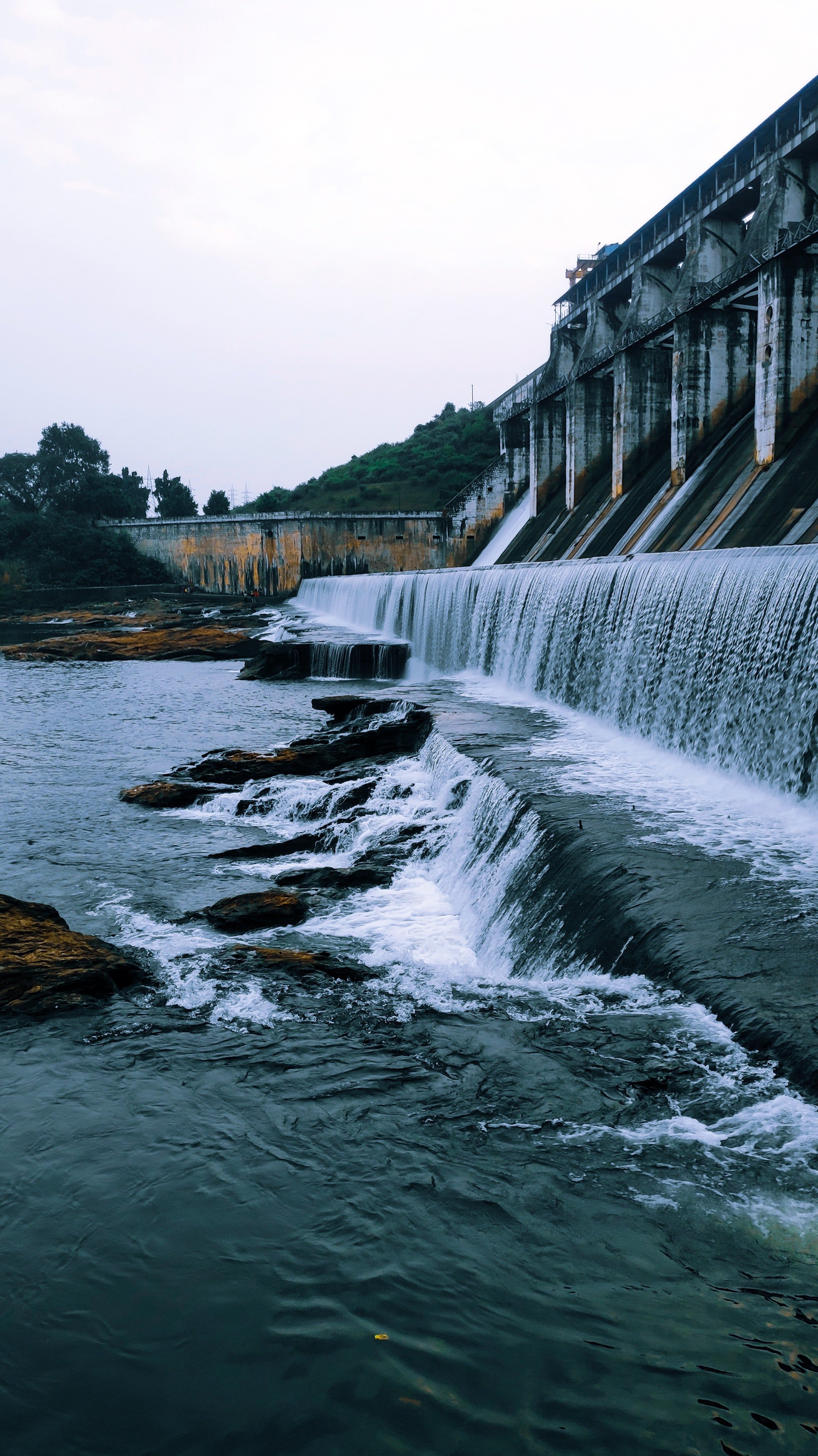
Flood impact statements, routing and overland flow study and reports
Floodway and overland flow path review
For flooding and overland flow studies
Gross Pollutant Traps
Hydrological Modelling
MUSIC modelling and reports
Oil spill capture systems
On-site sewerage treatment systems
Pumping stations
Podium and roof drainage systems
Rainwater harvesting tank sizing
River & Creek Flow Modelling
Sewer mains and connections
Sewerage treatment systems
On-site detention tank sizing
Stormwater drainage and investigate flow/flooding impact
Stormwater easement plan
Stormwater harvesting system
Stormwater management plan report
Stormwater roof drainage
Stormwater surface drainage channel, culvert, pit and pipework sizing, dispersal and adsorptions systems
Stormwater treatment system to reduce pollutant loads set by Legislation
Subsoil drainage and tail out details
Syphonic drainage systems
Water balance modelling
Water harvesting systems
Water mains
Water reticulation systems
Water Sensitive Urban Design (WSUD)
Water storage and harvesting systems
Water supplies
Water treatment systems
Oil spill capture systems
On-site sewerage treatment systems
Pumping stations
Podium and roof drainage systems
Rainwater harvesting tank sizing
River & Creek Flow Modelling
Sewer mains and connections
Sewerage treatment systems
On-site detention tank sizing
Stormwater drainage and investigate flow/flooding impact
Stormwater easement plan
Base drainage and pumping station
Erosion and Sediment control Plan
Fire storage tanks
Flood impact statements, routing and overland flow study and reports
Floodway and overland flow path review
For flooding and overland flow studies
Gross Pollutant Traps
Hydrological Modelling
MUSIC modelling and reports
Stormwater harvesting system
Stormwater management plan report
Stormwater roof drainage
Stormwater surface drainage channel, culvert, pit and pipework sizing, dispersal and adsorptions systems
Stormwater treatment system to reduce pollutant loads set by Legislation
Subsoil drainage and tail out details
Syphonic drainage systems
Water balance modelling
Water harvesting systems
Water mains
Water reticulation systems
Water Sensitive Urban Design (WSUD)
Water storage and harvesting systems
Water supplies
Water treatment systems
When Preparing a Flood Study
The Engineering Investigation typically requires the following activities:
Collection and review of available flood-related information for the catchment
Development of computer models to simulate the transformation of rainfall into runoff and to simulate how that runoff is distributed across the study area
Use of the computer models to simulate a range of hypothetical floods ranging from relatively frequent storms right up to the largest flood that could conceivably occur (known as the “Probable Maximum Flood”)
Interpretation of the computer model outputs to identify the variation in flood extents, depths, levels, velocities and hazard across the catchment
Preparation of a flood study report and maps summarising the outcomes of all stages of the investigation; and to identify areas that should be preserved in the future for the conveyance of flood flows
Is it a Flood or Overland Flow Path?
Overland flows are conveyances of runoff from storms that occur within a catchment. These flows feed into the local creeks and rivers. They may or may not cause a flood on the floodplain of the creeks and rivers where they enter. The design of overland flow paths can be very complex with many of the flooding issues associated with floodplains also applying to overland flow paths.
FTS differentiate Overland flow from floods in the way the water level rises. In a flood, this can occur for many reasons such as due to a narrowing of a creek bed or at the confluence of two creeks, change in vegetation density, or topography which causes the water level to rise. The use of an example may explain the difference - in the 2011 floods in Brisbane, FTS was required to explain to members of the public why they were flooded in the suburbs of Toowong and Taringa where it was not raining! When, the Brisbane River flooded even though it did not break its banks at Toowong or Taringa, the water travelled upstream in the adjoining creeks and flow paths flooding the surrounding areas of those creeks. Because it was not raining in those areas at the time there was no overland flows occurring locally, but rather inundation as floodwaters rose around the suburb. The properties concerned were essentially within a backwater or fringe zone of the major flood in the river 1 km away.
Flood risks are not limited to just floodplains. Property flooding and public safety risks can occur in any area subject to stormwater runoff. A large part of urban drainage design focuses on the design and management of overland flow paths, particularly major overland flow paths that receive stormwater runoff from more than one property.
These drainage corridors need to be considered during the planning of new urban developments and the redevelopment of existing urban areas.
FAIRDINKUM TECHNICAL SERVICES CAN HELP YOU!
Please call us on 0431 007 313 or go to the contact us now page to fill in our Inquiry Form.